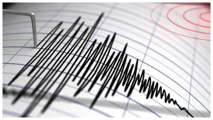
Indonesia: An earthquake measuring 7.0 on the Richter scale struck Indonesia’s main island of Java and the tourist island of Bali on Friday, according to the United States Geological Survey. The earthquake was recorded at about 3:25 am IST in the sea 96 km north of Tuban. The strong quake caused panic among people but there were no immediate reports of any serious damage or casualties.
The US Geological Survey said the 7.0-magnitude quake was centered 96.5 kilometers (59.8 miles) north of Tuban, a coastal city in East Java province, at a depth of 594 kilometers (369 miles).
Indonesia’s Meteorology, Climatology and Geophysical Agency said there was no tsunami threat but warned of possible aftershocks. The agency put the initial magnitude at 6.6. Variations in initial measurements are common.
Videos circulating on social media showed local residents and tourists in the neighboring provinces of Central Java, Yogyakarta and Bali watching houses and buildings shake for several seconds.
In some places evacuations were ordered to send people out into the streets.
The country of more than 270 million people is frequently affected by earthquakes, volcanic eruptions and tsunamis because of its location on an arc of volcanoes known as the “Ring of Fire” in the Pacific Basin. In 2004, an extremely powerful Indian Ocean earthquake triggered a tsunami that killed more than 230,000 people in a dozen countries, most of them in Aceh province of Indonesia.
(with AP inputs)